A heavy snow warning is in effect across seven states starting Wednesday, with forecasters calling for up to 18 inches of snow, winds as high as 90 mph and travel that could become impossible in some places.
The National Weather Service issued winter storm warnings and winter weather advisories for Montana, Wyoming, California, Nevada, Oregon, Washington and Idaho, with most alerts running from Wednesday to Thursday and some lasting until Friday.
In Montana, the Gallatin, Madison and Centennial Mountains are expected to pick up 5 to 12 inches of snow and winds around 40 mph from Wednesday afternoon to Thursday afternoon. The eastern side of Glacier National Park, along with nearby foothills and plains, could see up to 6 inches and 45 mph winds, especially over Marias Pass. More snow is expected in the highest areas from Wednesday afternoon until late Thursday afternoon.


Farther south and east, the Bear Paw Mountains and the southern part of Blaine County could get up to 6 inches of snow and 50 mph winds overnight Wednesday and into Thursday afternoon. The Snowy and Judith Mountains, along with areas below 4,500 feet in Fergus County, could see up to 12 inches and winds gusting around 55 mph from around midnight Wednesday until late Thursday afternoon. Parts of central, north-central and southwest Montana could also get up to 8 inches and 40 mph winds through around noon on Friday.
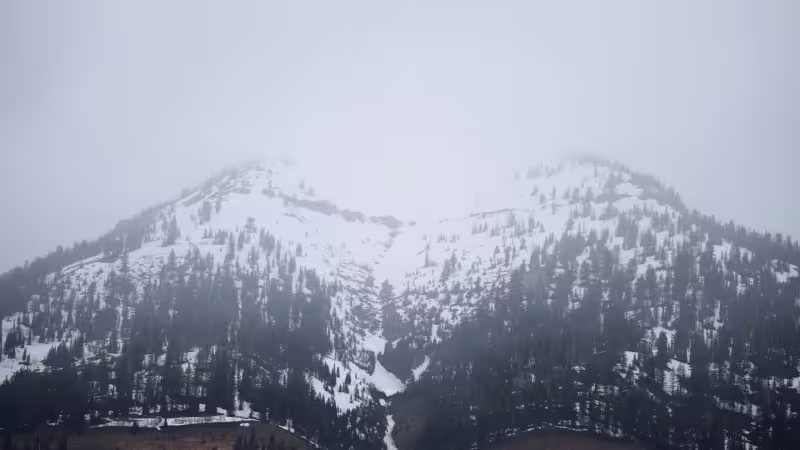
The strongest impacts are expected in the Stillwater River Valley, where the Absaroka and Beartooth Mountains in southern Montana and northern Wyoming are forecast to see up to 18 inches of snow and strong winds reaching 60 mph from Wednesday afternoon through Thursday and into Friday morning. The Salt River and Wyoming Ranges could see 5 to 10 inches of snow and 50 mph winds, while the Teton and Gros Ventre Mountains and parts of Yellowstone National Park are forecast for up to 12 inches, with as much as 18 inches in the highest elevations, and winds up to 45 mph from around noon Wednesday until Thursday evening.
Idaho is also bracing for a long stretch of mountain snow. Salmon, Bannock Pass, Shoup, Williams Creek Summit, Highway 28 from Tendoy to Lone Pine, Lemhi Pass, Highway 93 from Lost Trail Pass to Gibbonsville, the Highway 93 stretch from Sula to Lost Trail Pass, and Lolo Pass could see up to 5 inches below 4,000 feet, up to 10 inches at pass level and up to 12 inches on the highest peaks from Wednesday afternoon until around noon on Friday.
The weather service warned that heavy, wet snow could bring down tree branches, cut power and leave roads hazardous, with road closures and infrastructure disruptions most likely on the highest passes. Subfreezing temperatures are also expected to hit parts of Utah, adding another layer of risk to a storm already aimed squarely at mountain routes. For travelers, the question is not how bad the weather will get but whether those passes stay open long enough for anyone to use them.