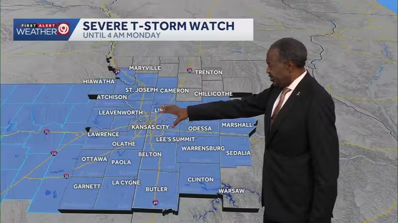
A Severe Thunderstorm Watch is in effect until 4 a.m. Monday for the Kansas City metro and most of the area, with a Flood Watch in place until 7 p.m. Monday and a First Warn Weather Day running Sunday night through Monday. The next round of storms is expected after 1 a.m., and it could bring winds up to 70 mph, hail as large as apples and even tornadoes.
A line of storms is then expected to move in between 4 a.m. and 9 a.m. Monday, which could make the morning commute messy before the bulk of the rain and severe threat clears by afternoon. Rain totals of more than 2 inches are possible in isolated spots, and that raises the risk of flash flooding in areas that catch the heaviest downpours.

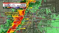
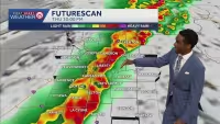
The timing is what makes this round more disruptive than a typical stormy night. Much of the severe weather threat arrives while people are asleep, and the overlap between heavy rain and strong storms means the morning hours could bring both road flooding and changing conditions fast enough to catch drivers off guard.
The threat does not end after Monday morning, either. A Flood Watch remains in place through 7 p.m. Monday, showing that the concern shifts from wind and hail overnight to water problems later in the day. Thursday is now forecast to carry a 30% rain chance, but the immediate focus is the overnight stretch and the commute window on Monday. For people in the KC metro, the answer to whether this becomes a rough start to the week is yes: the worst of it is expected before sunrise, and flooding may linger after the storms move on.