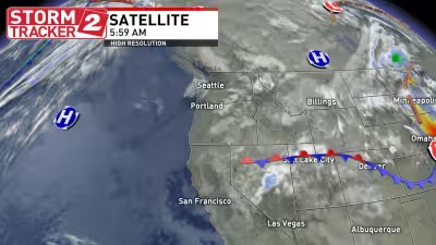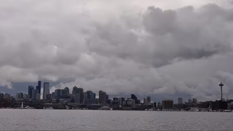
Marine clouds blanketed much of western Washington on Monday morning as low-level onshore flow from the Pacific Ocean pushed in overnight, leaving the region under a thick gray lid. Flights leaving Seattle-Tacoma International Airport and Everett-Paine Field were expected to pop into sunshine above the clouds at about 4,000 to 5,000 feet.
That cloud deck was set to keep highs on Monday struggling to climb above 60 degrees, though some sunbreaks were possible late in the day. Ted Buehner said many people were asking what happened to the weekend sunshine, and the answer was simple: the coast-to-inland flow took over before the day got going.
Tuesday was forecast to bring more persistent marine clouds and highs around 60 degrees, with temperatures falling only into the 40s under the cloud cover. There was still a slim chance of a late-day isolated shower through Tuesday, but Buehner said there was no rain in sight at this point.


The pattern was expected to change by Wednesday, when higher pressure aloft was forecast to build over the region and the low-level onshore flow was expected to taper off. The sun should return that day, with highs climbing into the 60s, and Thursday was shaping up to be the warmest stretch yet, with plenty of sunshine and highs in the mid-60s to mid-70s across western Washington.
After a brief return of marine clouds Friday morning, afternoon sunshine was expected to take over, and the weekend forecast called for more sun. By Sunday, temperatures were expected to reach the 70s in many western Washington locations. At Seattle-Tacoma International Airport, the warmest temperature so far in 2026 has been 74 degrees, set April 19, and Thursday or Sunday could match or top that mark.
The mountains will stay on the mild side as well, with freezing levels around 6,000 feet through Tuesday before rising to 8,000 feet or higher for the rest of the week and into the coming weekend. Afternoon pass temperatures were expected to range from the 50s to the mid-60s, keeping travel conditions relatively easy for late April.
The larger story is the same one that has been building through the week: western Washington is headed into a dry stretch. Longer-range forecast charts did not show a rain threat well into next week, April was expected to finish dry, and that dry period was likely to last into at least the first week of May. With the average first 80-degree day at Seattle-Tacoma International Airport not arriving until May 20, the region is moving faster than usual toward early-season warmth, and nearly all record highs there hit 80 degrees or better through the first half of May.